The Black Box Sensor system has been developed to capture information to accurately identify when and where fishing activities are taking place. This enables compliance monitoring to ensure fishing activities are only taking place within designated areas during designated open periods.
The Black Box Sensor system will soon be replaced by our upcoming Black Box Lite system. Check out our News section for the latest updates on what is happening at Anchor Lab.
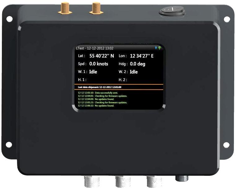
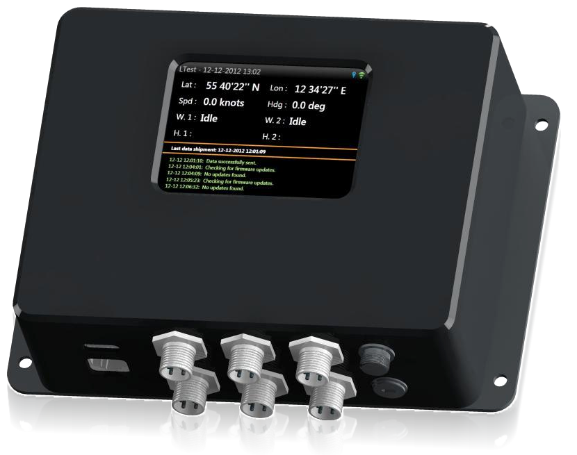
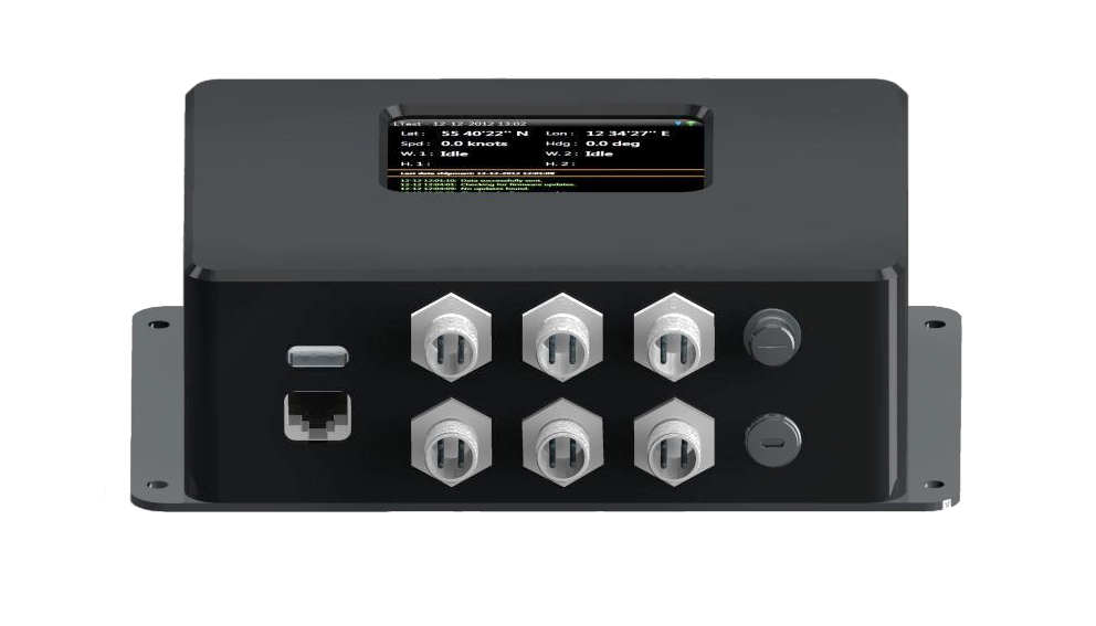
Exact time and positioning utilizing internal GPS with an external antenna.
Collect data on specified intervals and data changes.
Automatic reliable wireless (GSM) data transfer with minimal bandwidth footprint.
A robust casing protects the box against rough surroundings and ensures reliable data collection and stable transmission.
The compact design makes the box fit in almost any environment.
Height: 128 mm | Width: 200 mm | Depth: 58 mm
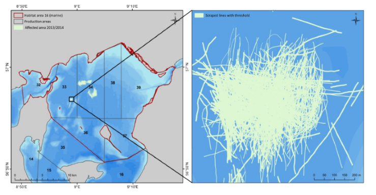
In Denmark, all vessels fishing for common mussels (Mytilus edulis) are required to be fitted with a sensor system. The fishery involves around 51 dredge vessels with an annual catch of around 30,000 tonnes. The BlackBox R2 system has been installed in the fishery since April 2012 with full functionality and reliability. The system is designed to meet the fishery objective to monitor where and when fishing is taking place, in detail, because mussel fishing is mainly conducted in sensitive marine areas with only 5% of the fishery area fished in a given year.
Data is recorded every 10 seconds. In this fishery, data is downloaded in near real time through the GSM network. Due to the frequency and accuracy of the data gathered via our system, additional analysis of the data gathered has also been performed by the Danish National Institute of Aquatic Resources (DTU Aqua) to quantify the total area within the Limfjord region that has been directly effected by the mussel fishing operations, which provide valuable information regarding the overall management of the fishery.
Close up of a fished area in a Natura 2000 area in Løgstør Bredning (Denmark). For more information, view the report on impact assessment authored by DTU Aqua.