27-05-2017
VIND version 2.0 has been released
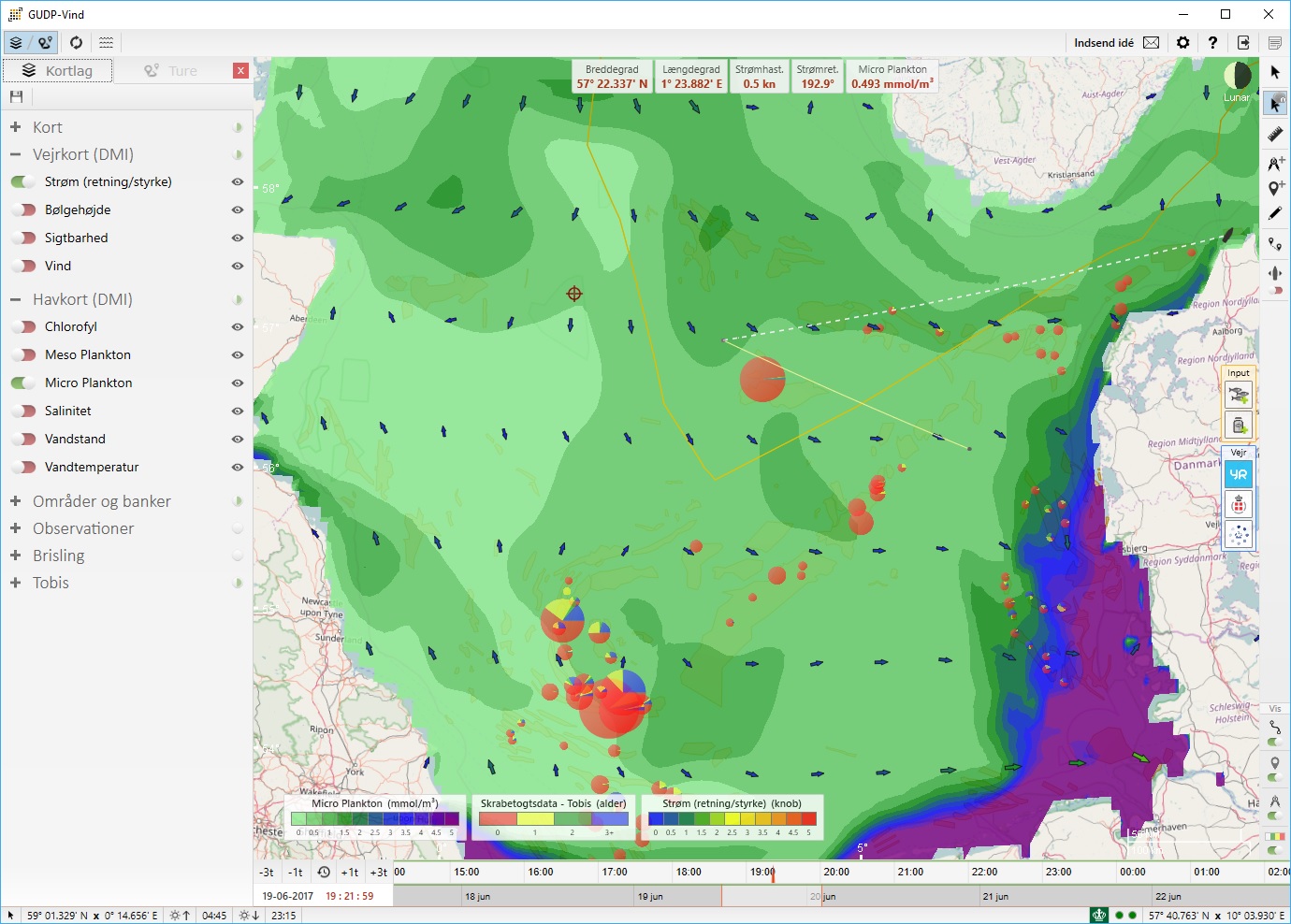
Have you ever wanted to view the plankton, salinity or chlorophyl concentration and movement in the North Sea? Having a light weight nautical charts viewer (open sea maps) and plotter application? The new release of VIND gives you exactly that!
We are therefore happy to announce that version 2.0 of VIND is out with an exciting new set of features:
- Integration of Open Sea Maps.
- Many new layers including: chlorophyl, salinity, meso plankton, micro plankton, water height, water temperature, and ICES areas.
- Playback functionality for specific layers visualizing the progress through out time.
- Plotting graphs for catch layers to easy compare previous years.
- Light weight plotter functionality for adding divider lines, bearing lines and points of interest.
- Viewing the live position of the vessel directly on the map and setting bearing lines.
- Viewing historical trips on the map and getting an overview of previous catches.
VIND is a free windows application, so please contact us if you want to give it at try.